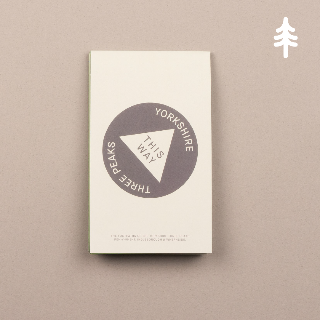


THIS WAY Yorkshire Three Peaks Map
THIS WAY Yorkshire Three Peaks Map
Regular price
£8.00
Regular price
Sale price
£8.00
Taxes included.
Quantity
Couldn't load pickup availability
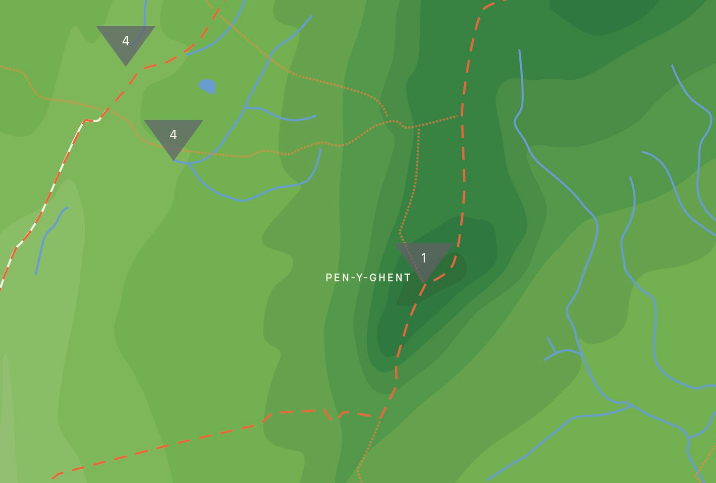
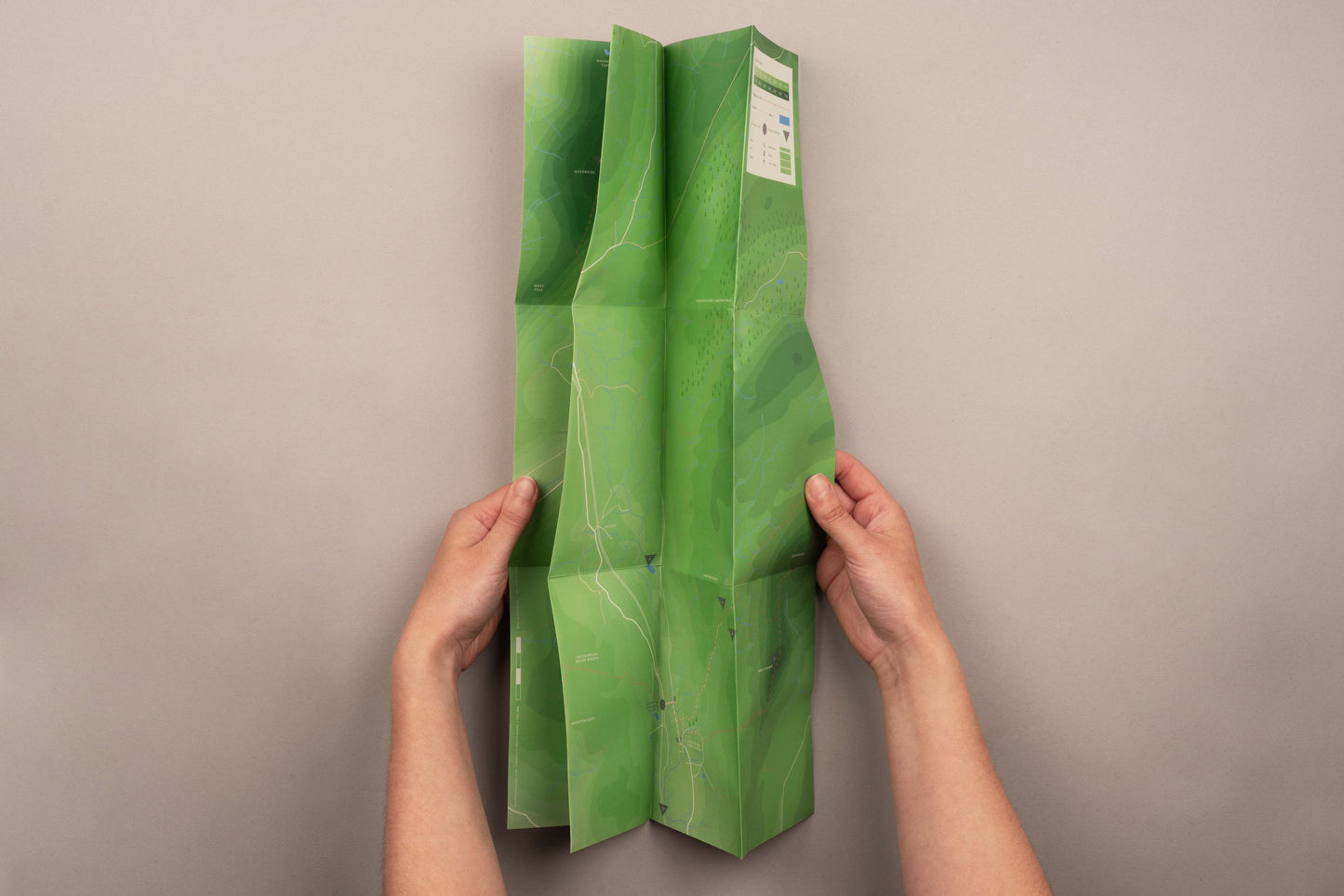
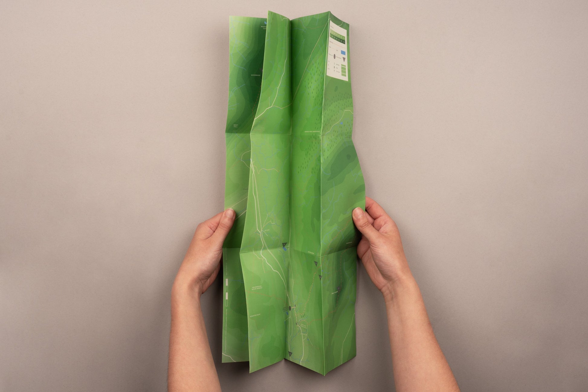
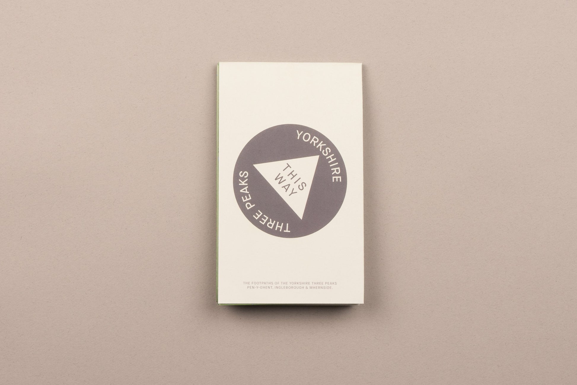
A map detailing the footpaths of the Yorkshire Three Peaks, Pen-y-ghent, Ingleborough and Whernside. Designed and printed by This Way
This double sided map details three circular routes visiting each of the Yorkshire Three Peaks. Side two describes a number of points of interest, almost all of which document different limestone features that this landscape is formed of, including terrifying pot holes and caves and a hillside covered in erratic boulders.
- 10 x 17cm (folded), 50 x 51cm (open)
- Printed on recycled matt paper
- Packed in a glassine bag
Photography by Curtis James