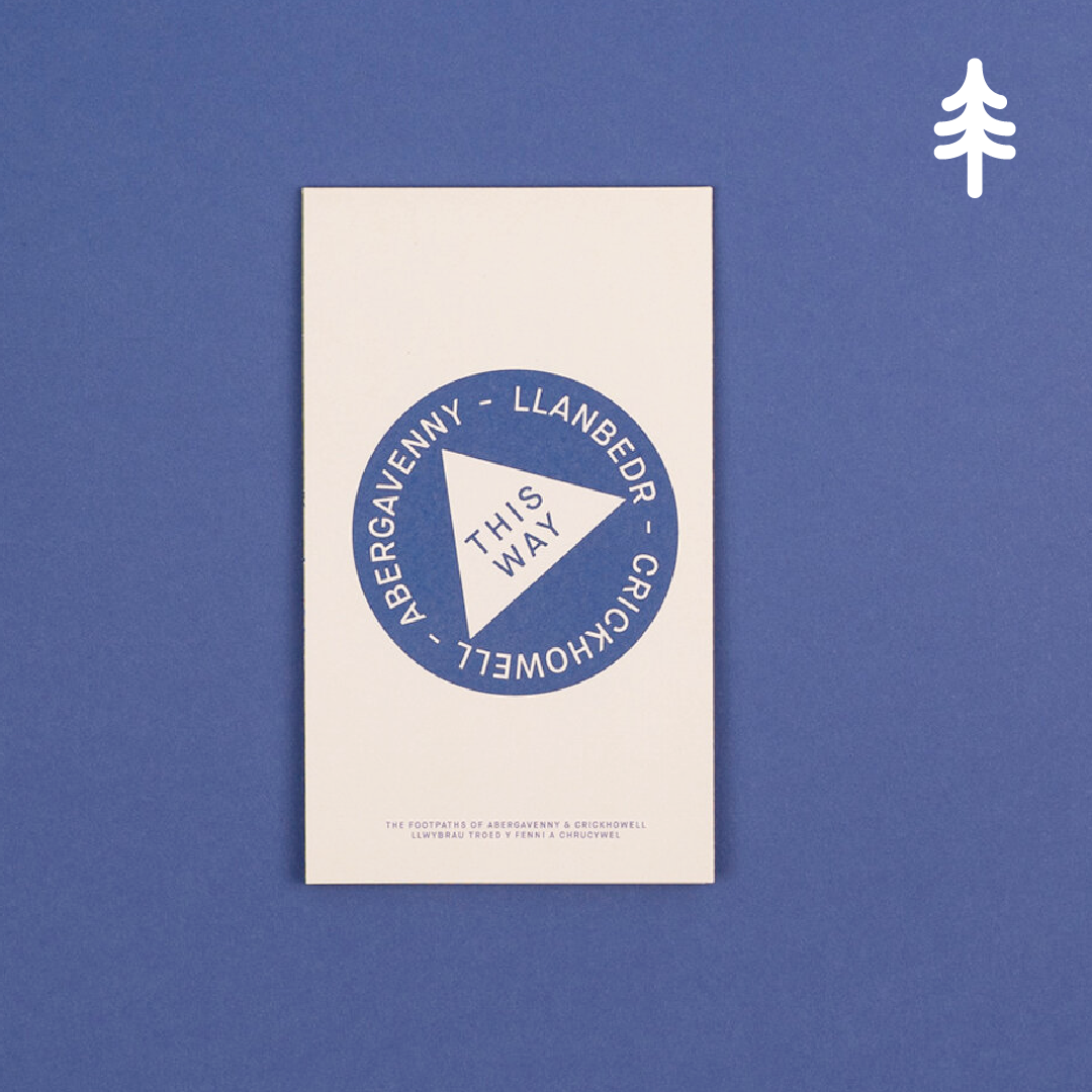

THIS WAY Abergavenny Map
THIS WAY Abergavenny Map
Regular price
£4.00
Regular price
£8.00
Sale price
£4.00
Taxes included.
Quantity
Couldn't load pickup availability
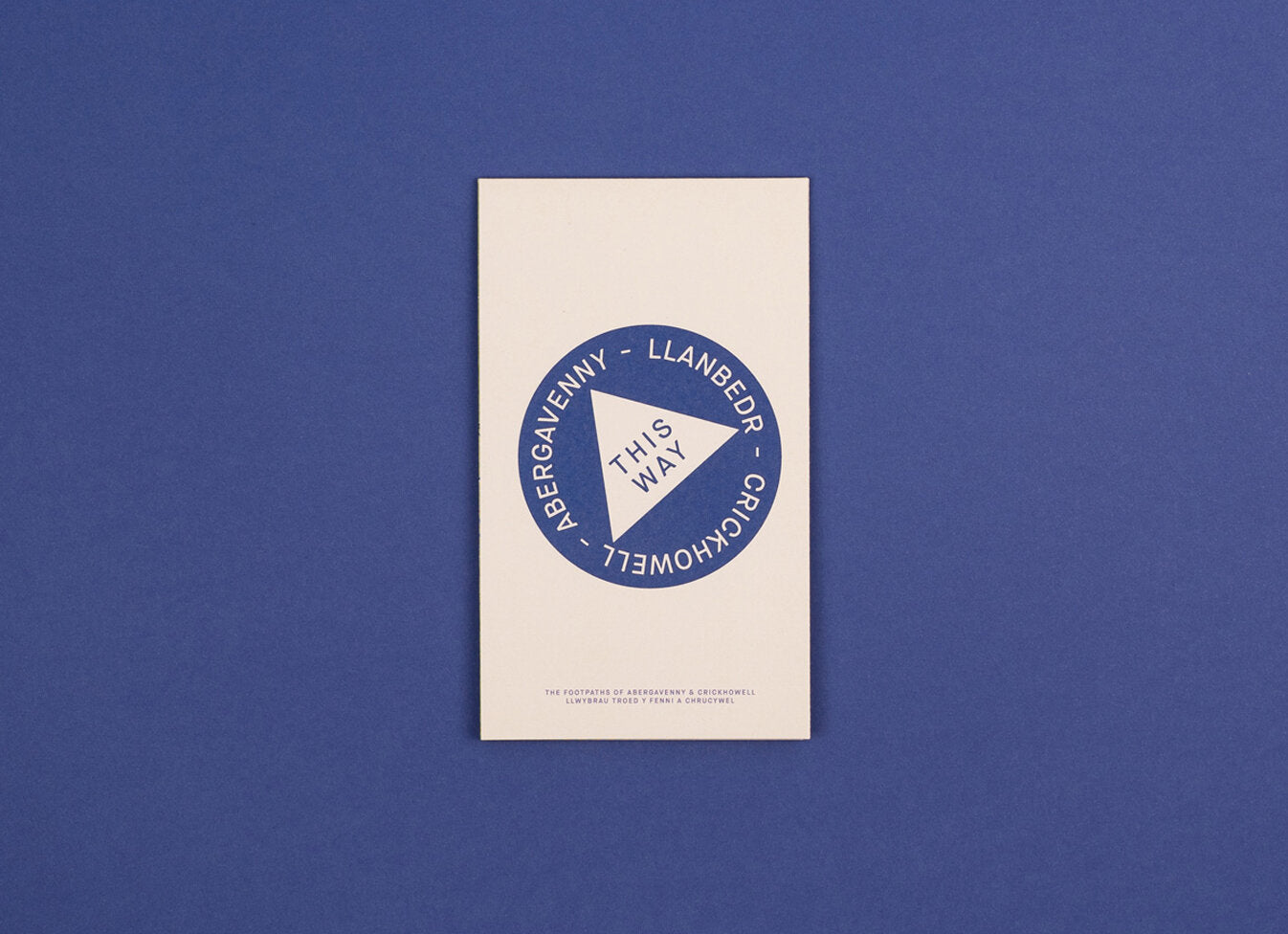
A map detailing the footpaths between Abergavenny and Crickhowell, including Sugar Loaf Mountain.
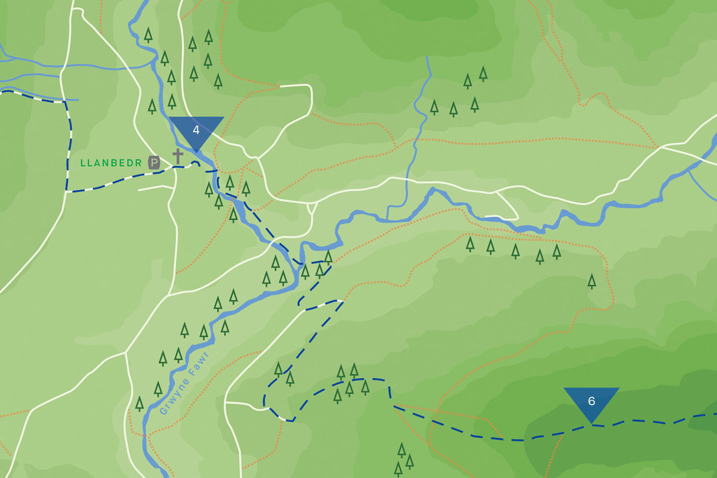
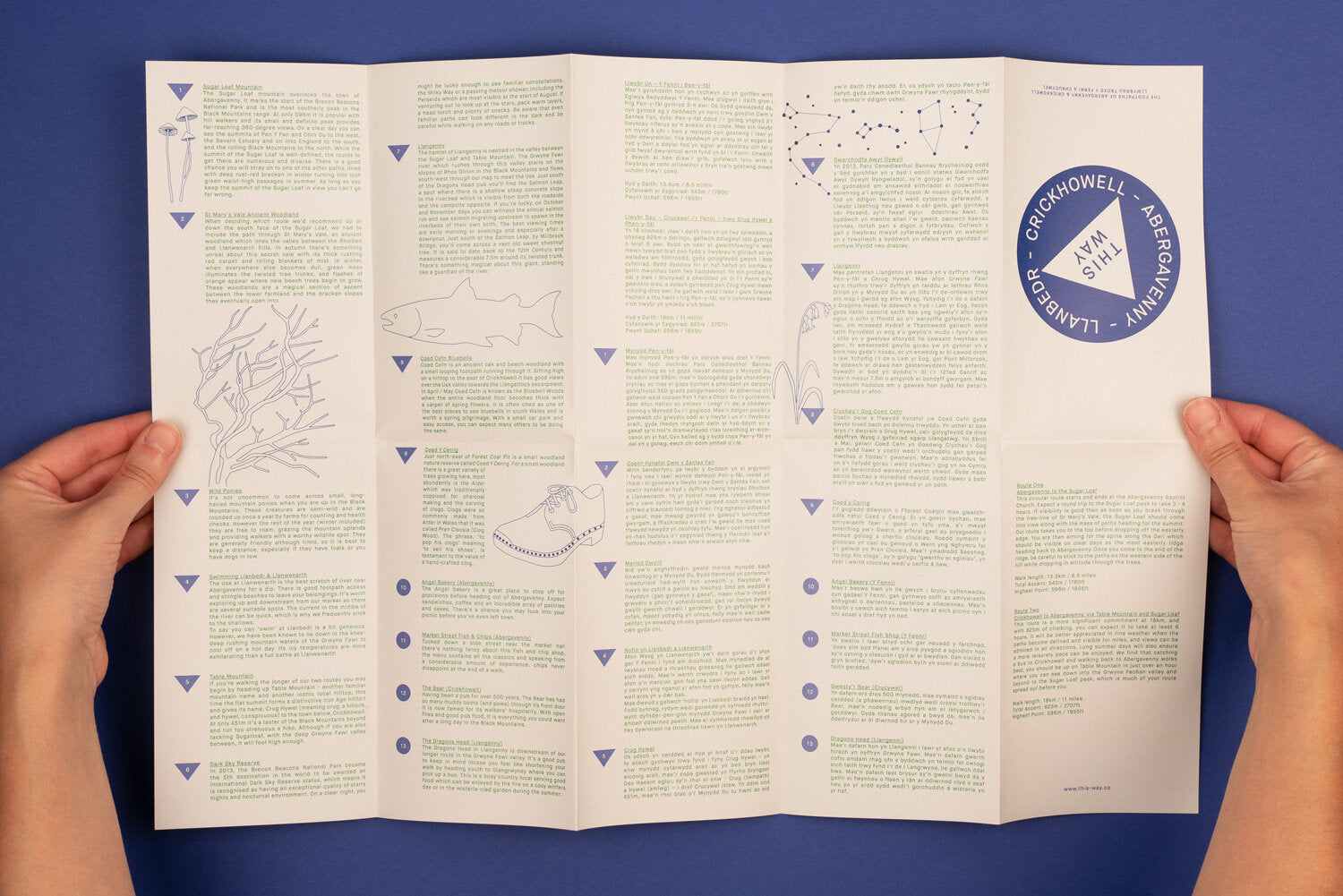
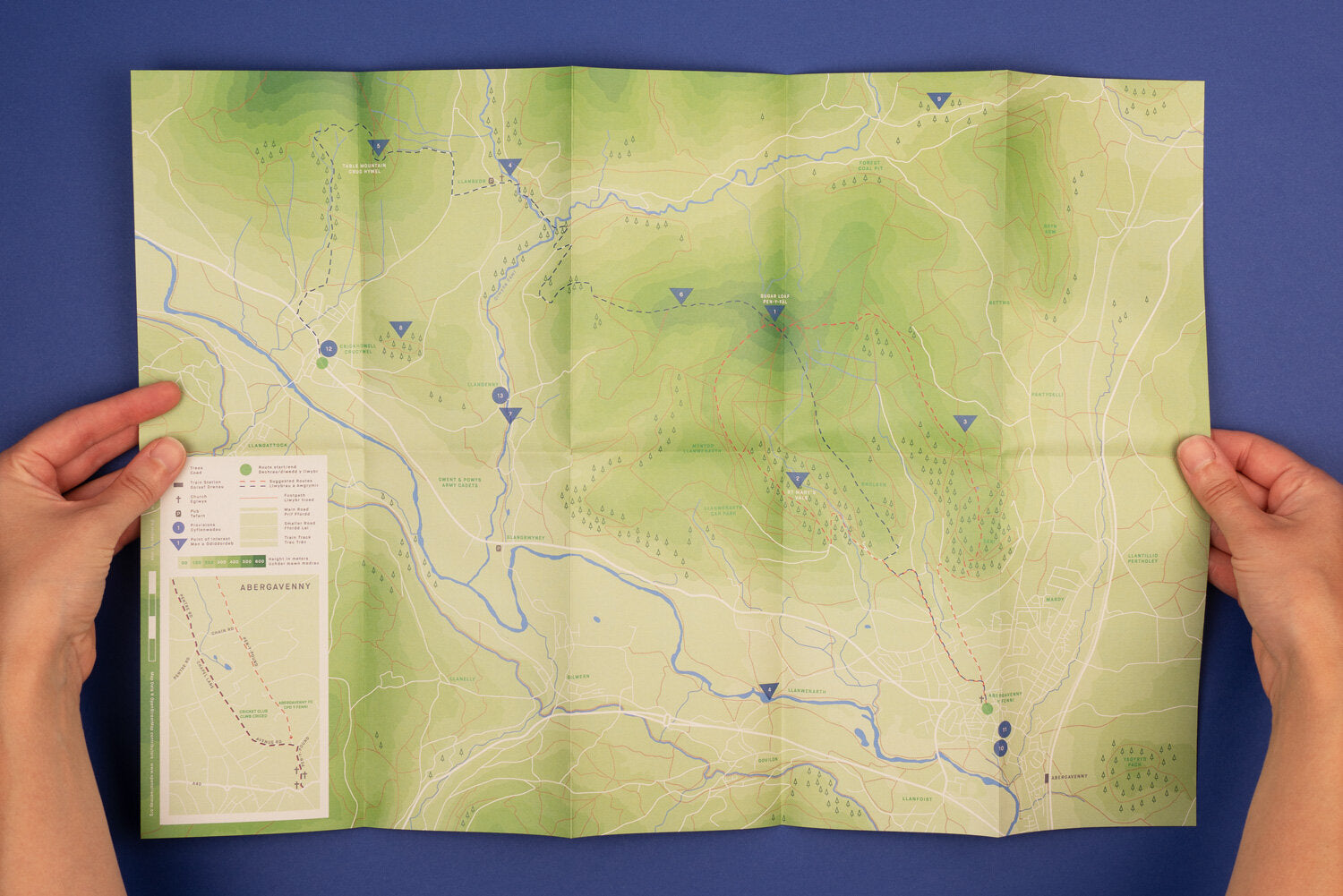
This double sided map details a circular route that climbs Sugar Loaf from Abergavenny, and a route that connects Abergavenny with Crickhowell that takes in the summits of Sugar Loaf and Table Mountain. Side two describes a number of places to grab provisions and points of interest including ancient woodlands, wild swimming spots and a place to see salmon. The map is written in both English and Welsh.
- 10 x 17cm (folded), 50 x 34cm (open)
- Printed on recycled matt paper
- Packed in a glassine bag
Photography by Curtis James